


SuperSurv app for iPhone and iPad
A standalone GIS survey app for professional field tasks!
Collecting data offline using shapefiles in the field!
“Its cheap and easy to use. Our GIS collection is now faster and more simple” 5-Star rating comments from Australian user (Atmar12) May 27, 2014
Key features in SuperSurv
1. Online Map Tool for free basemaps (Eg.OpenStreetMap).
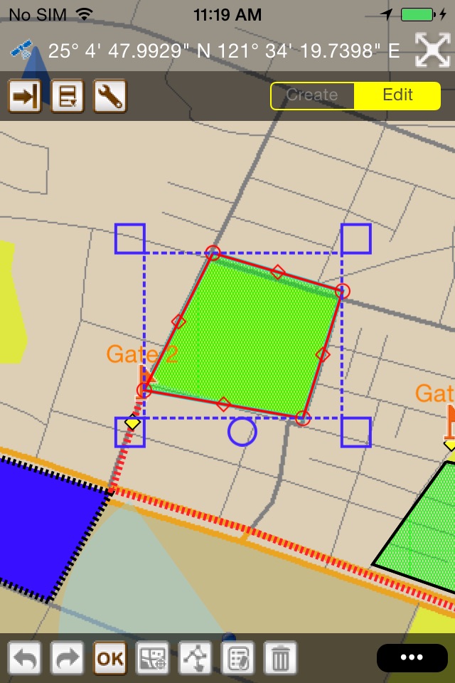
2. Offline data editing (SHP/ GEO).
3. Map display with global coordinate systems.
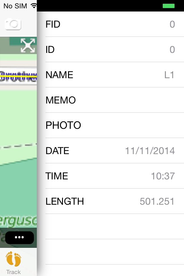
4. Built-in types of point, line and polygon symbols .
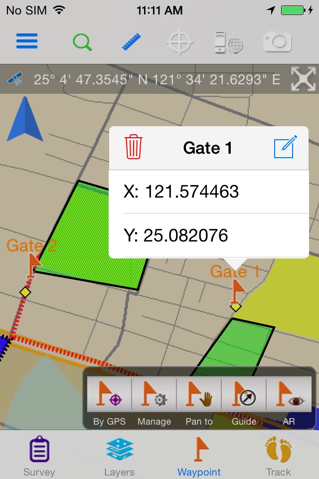
5. Collect point, line, polygon features by GPS or tapping on the map.
6. Collected data can be exported with iTunes/ Dropbox and applied to other GIS software for further application.
7. Create and manage waypoints with ease.
8. Query and measure the map with GIS tools.
9. Managed by projects and layers.
10. Display the map service published by SuperGIS Server
SuperSurv is the spatial data collection App developed by Supergeo Technologies Inc. Supergeo is a leading global provider of GIS software and solutions. Since the establishment, Supergeo has dedicated to providing state-of-the-art geospatial technologies and comprehensive services for customers around the world.
Integrating with GIS and GPS technologies, SuperSurv allows you to easily collect and survey spatial data (including attributes) in the field with iPhone and iPad.
The main functions of SuperSurv include data collection, orientation, and map display. With the built-in GPS functions, the data of point, line and polygon can all be captured quickly. Users can apply OpenStreetMap as the basemap to collect spatial data and save the data as SHP files.
The free version allows users to try the complete functions for 7 days. To continue experience the powerful GIS functions, please purchase the paid version—SuperSurv Pro.